Web Service
Display web service options for WFS, WCS, or WMS
In this client, users can display web service loading options for selection (WFS, WCS, or WMS) . Via the import web service features box, users may specify the service URL and additional customization functions for handling and displaying data.
Visualization
Visualize outputs efficiently
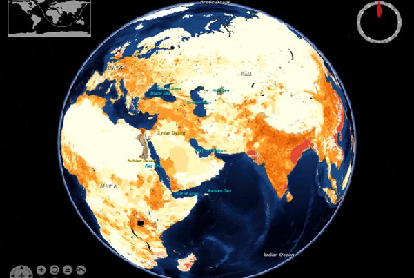
The desktop client enables visual and analytical tasks, as related to mass migration data support needs. It is capable of handling complex analyses and rendering of large datasets (e.g., big data). The client includes three major modules: data management, visualization module, and analytical module.
Analysis
Further analysis performed on the loaded layers
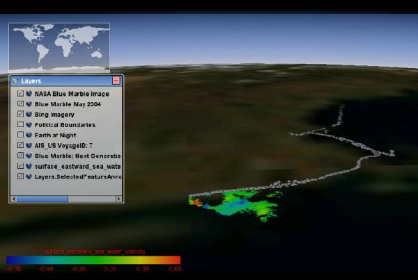
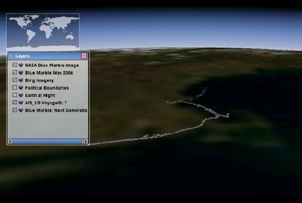
The interface component enables user manipulation of datasets, classification and analysis functions, and information and visualization outputs. Further analysis can be performed on the loaded layer/s (classification, density mapping, time-based tracking, and data profiling).

SHARE THIS PAGE