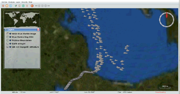
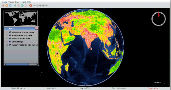
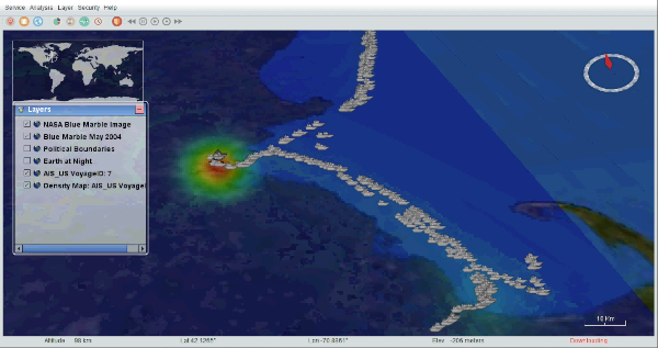
Web Service

User opens the “Service” tab at the top left of the interface, to display web service loading options for selection (WFS, WCS, or WMS) . Via the import web service features box, a user may specify the service URL and additional customization functions for handling and displaying data (feature type name, region of focus, visibility details, attributes to visualize on the globe). The globe then auto-zooms in or out to the area of interest, and displays the selected dataset features as previously specified. The user may, while visualizing the uploaded data, take advantage of layer control options too to enable/disable layer views. Once features are loaded, and depending on whether they contain additional attributes or metadata, clicking on each on the map will bring up a box with related details. 

https://mobirise.com/

SERVICES

Web Mapping Service 

The WMS service includes remote sensing imagery from NASA Earth Observations. These maps show several types of datasets across the globe, such as the locations of actively burning fires. It also has maps that include data from all over the world. Examples of themed layers are administrative boundaries at different resolutions, for all world countries and agricultural lands and locations of anthropogenic biomes (e.g., croplands, pastures, urbanized places)

Web Coverage Services 

The WCS service contains Marine-related layers and information for the US East Coast and Gulf of Mexico, at various resolutions and for different dates. Details include surface water velocity (in different directions) and longitudinal dilution of precision 

Web Feature Service

The WFS service contains Automatic Identification System (AIS) data from vessel traffic records. Prominent attributes about the ships and voyages include (among others) including Voyage ID, navigational status, speed over ground and etc.The AIS records are original in point format, though density outputs for routes created from the location points is also possible.

View Web Service
Demonstration